

The “Entour de Siou Blanc” track
This 19.4 km track is full of contrasts and will allow you to discover the most remarkable elements of the plateau, from the most beautiful viewpoints to surprising natural sculptures, such as the Stone Elephant or the Aiguilles de Valbelle.
Description
It is possible to go on this track on foot. Details of the track are in the brochure to download, or available at the tourist office. Caution: In summer, it is important to check the map of access to the forest massifs due to fire risk on the Var prefecture website.
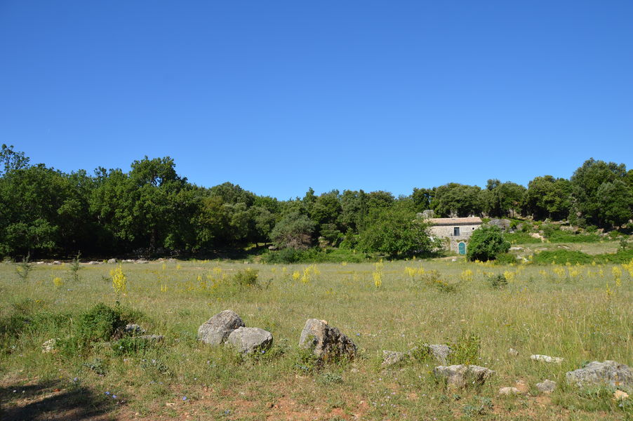
The circuit crosses the cities of Signes and Méounes-les-Montrieux.
Profile
- Altitude difference : 622 m
- Tagged
- Positive elevation gain : 622 m
- Distance 19.4 Km
- Duration : 420 minutes
Spoken languages
- French
Visit
Individual
- Duration individual visit : 420 hours (average)
Comfort / services
On-site activities
- Pedestrian sports
- Hiking itinerary
Prices
Free
Opening
All year round.
Near
Gîte de vigne féré
Furnished accommodation and Gîtes
Gîte ‘Olives en Provence’
Furnished accommodation and Gîtes
Le Mas de Nuke
Furnished accommodation and Gîtes