

“CYCLOPIBUS” MOUNTAIN BIKE TRACK
Discover the “avens”, exceptional by their depth (up to 370m) and their number. Connected to each other, they form a real underground network used as much by water as by speleologists.
Description
It is possible to go on this track on foot or by bike. Details of the track are in the brochure to download, or available at the tourist office. Caution: In summer, it is important to check the map of access to the forest massifs due to fire risk on the Var prefecture website.
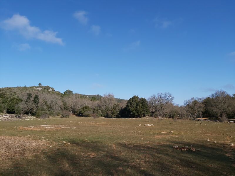
The circuit crosses the city of Signes.
Profile
- Altitude difference : 54 m
- Tagged
- Positive elevation gain : 54 m
- Distance 2.5 Km
- Duration : 60 minutes
Spoken languages
- French
Comfort / services
On-site activities
- Cycling sports
- Mountain biking itinerary
Prices
Free
Opening
All year round.
Near
Gîte de vigne féré
Furnished accommodation and Gîtes
Gîte ‘Olives en Provence’
Furnished accommodation and Gîtes
Le Mas de Nuke
Furnished accommodation and Gîtes